The Real West End Traffic Problem Isn't the Cars on Smuggler Street
August 27, 2026
August 27, 2026
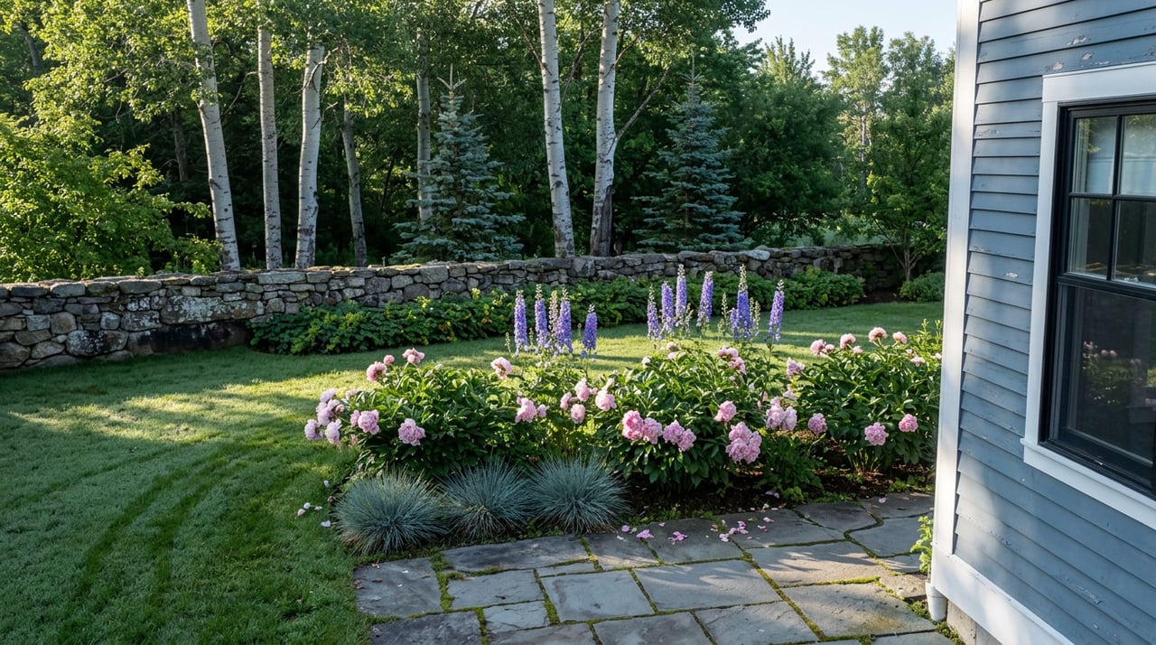
Every West End resident has a version of the same story. You're leaving the house around 5 p.m., maybe walking a dog toward Hallam Lake, and a steady line of cars is working its way down West Smuggler Street toward Power Plant Road. It feels like an invasion, like the neighborhood's quiet residential grid has been colonized by commuters who don't live here. The instinct is to blame the drivers.
The city's own account of how this started points somewhere else entirely. At a December 2025 council meeting where Aspen approved $397,000 in study contracts for the neighborhood, Mayor Rachael Richards laid out the actual mechanism.
"This is the first time we're really paying any real attention to this neighborhood, in a neighborhood that is dealing with all the impacts of a failed entrance where we know that 34% of the traffic coming into Aspen throughout the whole day leaves at the end of the day through the West End, Power Plant Road because past councils blocked off Bleeker Street and other streets."
Read that again. Roughly a third of the traffic leaving town at day's end funnels through the West End not because the neighborhood grew or changed, but because earlier city councils closed off other routes. The West End, bounded by 8th Street on the west, Gillespie Avenue to the north, Mill Street to the east, and Main Street to the south, absorbed the overflow from a decision made about a different part of town.
Aspen's chronic bottleneck is the S-curves at the entrance to town, where Highway 82 traffic backs up during peak hours. Drivers looking for a way around that congestion have long known they can cut through the West End via Smuggler, connect to Power Plant Road, and rejoin the highway near Cemetery Lane. Traffic data compiled by Aspen Journalism shows how real this pressure has become. In 2025, summer was the busiest season of the year for vehicle counts, with July exceeding a 1993 monthly benchmark and August 8 recording more than 28,300 vehicles crossing Castle Creek Bridge, the single busiest day of the year.
That volume doesn't stop at the bridge. It keeps moving, and the path of least resistance runs straight through residential streets that were never engineered to carry it.
This matters for anyone trying to understand what's happening on West End streets right now, because it reframes the entire study underway this summer. The city isn't trying to solve a new problem. It's trying to manage the downstream effect of an old one, using a neighborhood that had no say in the original decision.
In December 2025, Aspen City Council approved contracts with Alta Planning + Design and Jacobs Engineering to run a 12-task feasibility review covering congestion, pedestrian safety, and traffic enforcement across the West End. That study is still running, and a handful of changes have already reached the pavement.
The Aspen Police Department relaunched its West End traffic enforcement pilot for the 2026 summer season, building on a 2025 run that lasted from August 25 through October 30. During that first stretch, officers logged 357 traffic stops citywide, 251 of them inside the West End specifically, resulting in 168 citations. Police Chief Kim Ferber has framed the goal less as ticket volume and more as changing driver behavior on a street that was never built for cut-through commuting.
On the ground, the city installed traffic diverters on the Hallam Street pedestrian and bicycle way at 1st, 3rd, and 5th Streets. The 5th Street diverter didn't survive contact with reality. A field review found it conflicted with Crosstown Shuttle operations, so the city pulled it. Monitoring continues at 1st and 3rd.
A handful of other low-risk measures moved forward without waiting for the full study to wrap:
Everything else is still waiting on more data or more council direction.
Here's where the study gets more interesting than a simple list of construction updates. A grassroots group called the West End Pedestrian Safety Group has petitioned the city for aggressive, visible intervention. Their ask is specific: four-way stops at every West End intersection, speed bumps modeled on those already installed on Cemetery Lane, painted crosswalks the length of West Smuggler Street, and active enforcement backed by speed cameras.
When the city actually surveyed the neighborhood as part of the Jacobs analysis, the results didn't match that ask.
| What advocates requested | What the resident survey found |
|---|---|
| Four-way stops at every intersection | Preference for targeted, localized fixes over broad restrictions |
| Speed cameras and automated enforcement | No specific support recorded for camera-based enforcement |
| More one-way alley conversions | Survey results did not show extensive support for additional one-way alleys |
| Speed bumps neighborhood-wide | Feedback centered on avoiding unnecessary changes |
The survey drew 103 responses, and the city's own summary noted that the clearest theme was a preference for avoiding unnecessary changes and focusing on localized solutions rather than sweeping neighborhood-wide restrictions. That's a meaningfully different mandate than the one the loudest advocacy has been pushing for, and it helps explain why the pace of visible change on the ground has stayed cautious even as the political pressure has been anything but.
Several pieces of the study are deliberately paused until peak summer traffic generates enough data to act on. Jacobs is researching noise enforcement technology, including camera-based systems, and set July as the month to collect the noise data needed to support that analysis. Alta is developing curb extension options at the intersections of 7th and Smuggler and 8th and Smuggler, tied to a completed survey of those locations, alongside pedestrian walkway alternatives connecting the 8th Street bus stop to the Aspen Meadows campus.
Jacobs is also running a signal timing analysis, in coordination with the Colorado Department of Transportation, at the Cemetery Lane and Truscott intersections along Highway 82. The goal is to see whether adjusting signal timing there eases the afternoon backup enough to reduce the incentive to cut through the West End in the first place, addressing the root cause rather than just the symptom on Smuggler Street.
There's one more variable layered on top of all this. In April 2026, City Council approved the Aspen Meadows affordable housing project on a 4-1 vote, adding employee housing units for the Aspen Institute, Aspen Music Festival and School, and Aspen Center for Physics on the Meadows campus. Council members who supported it did so while explicitly acknowledging the West End's existing traffic problems, and the approval came with a commitment to run a traffic barrier experiment and additional study during this summer's Aspen Music Festival season. That means the same neighborhood streets being studied for congestion relief are also about to see construction traffic and, eventually, new residents.
City staff have been clear that no major council decisions are expected until scheduled check-ins later this summer and again in fall. The message, in effect, is that this is a season for measurement, not transformation. If you're expecting visible infrastructure changes on your block before Labor Day, the study's own timeline suggests otherwise.
I talk with West End clients and neighbors regularly, and the frustration is real. It's also, based on the survey the city itself ran, more nuanced than the loudest voices suggest. Most residents don't want their historic grid reengineered with stop signs on every corner. They want the cut-through traffic to go somewhere else, ideally back to the highway problem that created it.
That's a harder thing to deliver than a speed bump, and it's why the real fix, if there is one, may end up being the signal timing study at Cemetery Lane and Truscott rather than anything installed inside the neighborhood itself. Worth watching for when council reconvenes on this later in the year.
If you're weighing a move to the West End, thinking about what a property here will feel like day to day, or just want an honest read on how a neighborhood's civic issues intersect with its real estate, I'm glad to talk it through. Reach out through Aspen Luxury Real Estate and let's connect.

Lisa Turchiarelli is a trusted Aspen real estate advisor with more than 28 years of experience in luxury sales and rentals. A Top Producer at Coldwell Banker Mason Morse and a recipient of the prestigious International Society of Excellence Award, Lisa is recognized among the top 0.5% of Coldwell Banker agents worldwide. Known for her determination, deep market knowledge, and ability to guide clients through every stage of the buying, selling, or investment process, she works tirelessly to help clients find properties that fit their goals perfectly. When she isn’t serving clients, Lisa enjoys embracing the Aspen lifestyle with her family, whether hiking, skiing, or volunteering in her community.
📍 355 Riverside Ave, Westport, CT 06880
📞 (203) 858-2095


Stay up to date on the latest real estate trends.
What to Understand Before You Make an Offer.

What Aspen-Area Sellers Should Understand Before Closing.
Understanding Your Options Beyond Aspen City Limits.

Why Buyers Pay a Premium for a South-Facing Hillside Minutes From Downtown Aspen.

What Location, Building Age, and Association Rules Mean for Your Downtown Aspen Purchase.

Reading Past the Headlines: How Aspen's Ultra-Luxury Tier Impacts the Numbers You'll See.
Understanding What Makes Each Corner of Aspen Feel Different.

Meeting the 45-Day Deadline in a Thin Market Like Aspen and the Roaring Fork Valley.
When not helping clients realize their dreams Lisa lives her own by hiking, mountain biking, running and telemark skiing in the natural beauty of the Aspen area. Get in touch with her today!